 |
| South towards the nameless hills beyond |
I have a lot of cool excursions to write about but just don't have the motivation to do so. What I do have motivation for is to write about my running which has been picking up lately. I'd been off my feet since October with a severe case of tendonitis in a hip attachment. This was, in a funny and ironic twist, the same week I had the great idea to start logging trails and photos to this journal. I learned a couple of good lessons from this - the first being, don't run so much that you fry important connective tissue in your leg; and two, you don't need to run to appreciate a good trail - a bike, a pair of skis, or a hike with a lovely wife and dog will do just fine. Also, you don't need to be good with punctuation to write on the internet.
 |
| Windy trail and diffused light, a very good combination |
 |
| Descending from the water tank, south profile of Atalaya |
Alright, well in an effort to keep the running low key I've been sticking to the flat footpaths and arroyos around Casa de Dirt. On Wednesday impatience got the best of me and I drove up to St. Johns for a run up near the hills in the mostly flat arroyo they've got up there, I call it East Hills Arroyo because I don't know its real name. I guess it could be St. John's arroyo, or water tank arroyo. It doesn't really matter but it's an awesome arroyo for running and I was happy to be back up there after several months away. Sometimes I park behind the museums to add a few miles but generally you just park there at the St. John's trailhead. The trail winds down to the arroyo and then southeast through the hills.
 |
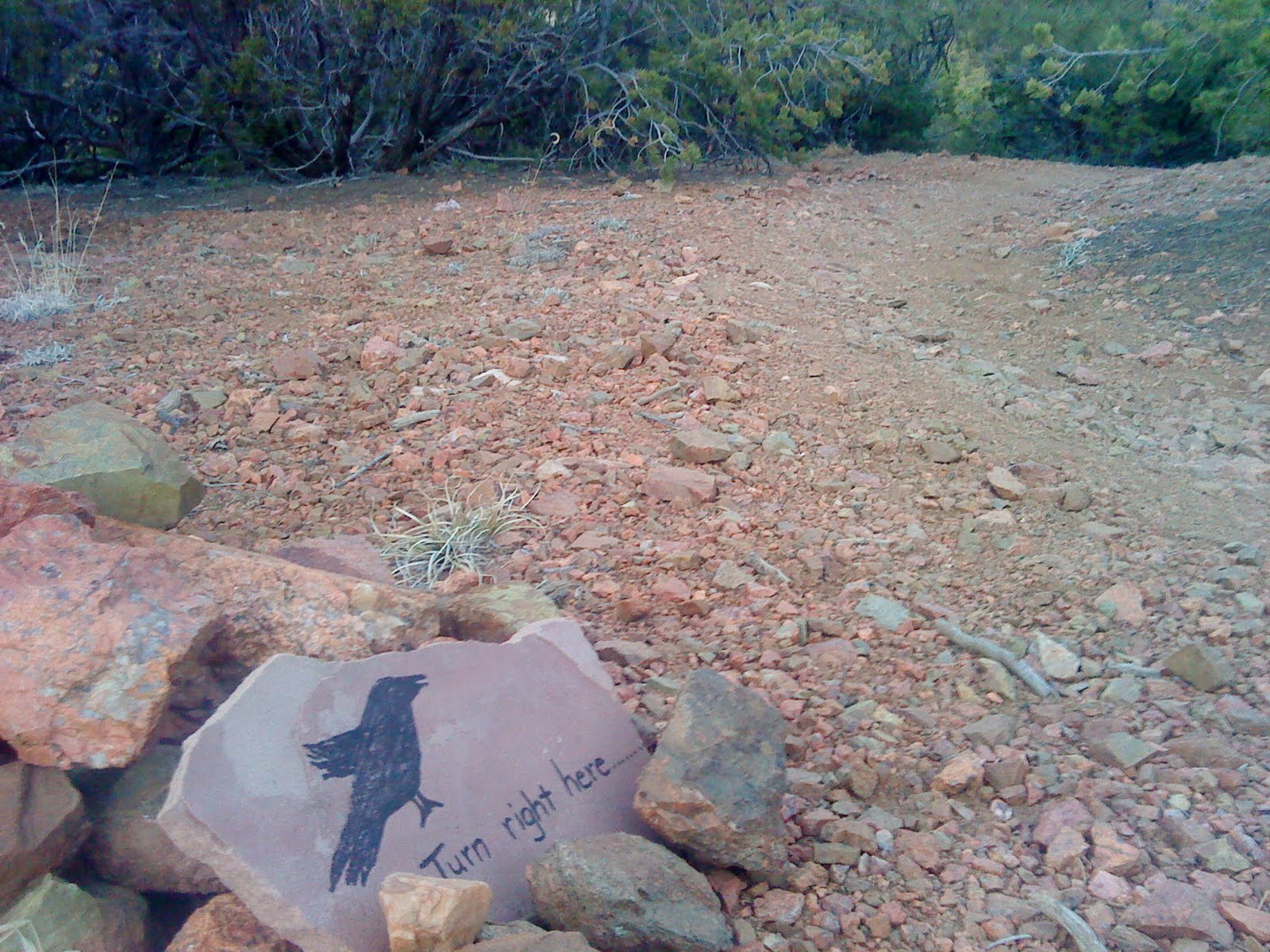
| Traffic signal - I don't usually trust crows but made an exception here |
The arroyo actually cuts a bit of a canyon through here with Sun and Moon mountains rising up to the west and Atalaya and the surrounding hills towering high to the east. It's all pretty enjoyable. It can get uncomfortably cool in here on some days because it serves as a deep catchment for cooler air rolling off the hills. I never see many people after the turnoff to Atalaya. Sometimes I hear coyote howls but not on this day. As the arroyo narrows there are some sweet intermittent trails that cut through the willow islands and are fun to accelerate through. Island fartleks, good stuff. You pass an old dam that fills with willows or marsh or ice depending on the time of year. Right now it's dried dead marsh and looks like crap.
 |
| The willows demand speed! damnit. They must be appeased |
The arroyo narrows some more and will eventually kick you out to the left (east) on some footpaths that will drop back down into the Barbaria Rd drainage. There's a little climbing here but I lie a little to myself and determine that it's flat. It's a nice change from the sandy footing of the arroyo, and the views ahead open up a little. If you stay to your right you cross through a nice bike trail that as far as I can tell goes nowhere except up behind some ridge homes and up to a water tank. There's got to be a link up from there to some other trails but I haven't found it just yet, in any case it's a good turn around point (~3mi) and there are great views of the Rio Grande Valley to take in before heading back.
 |
| Familiar silhouettes at sunset |
 |
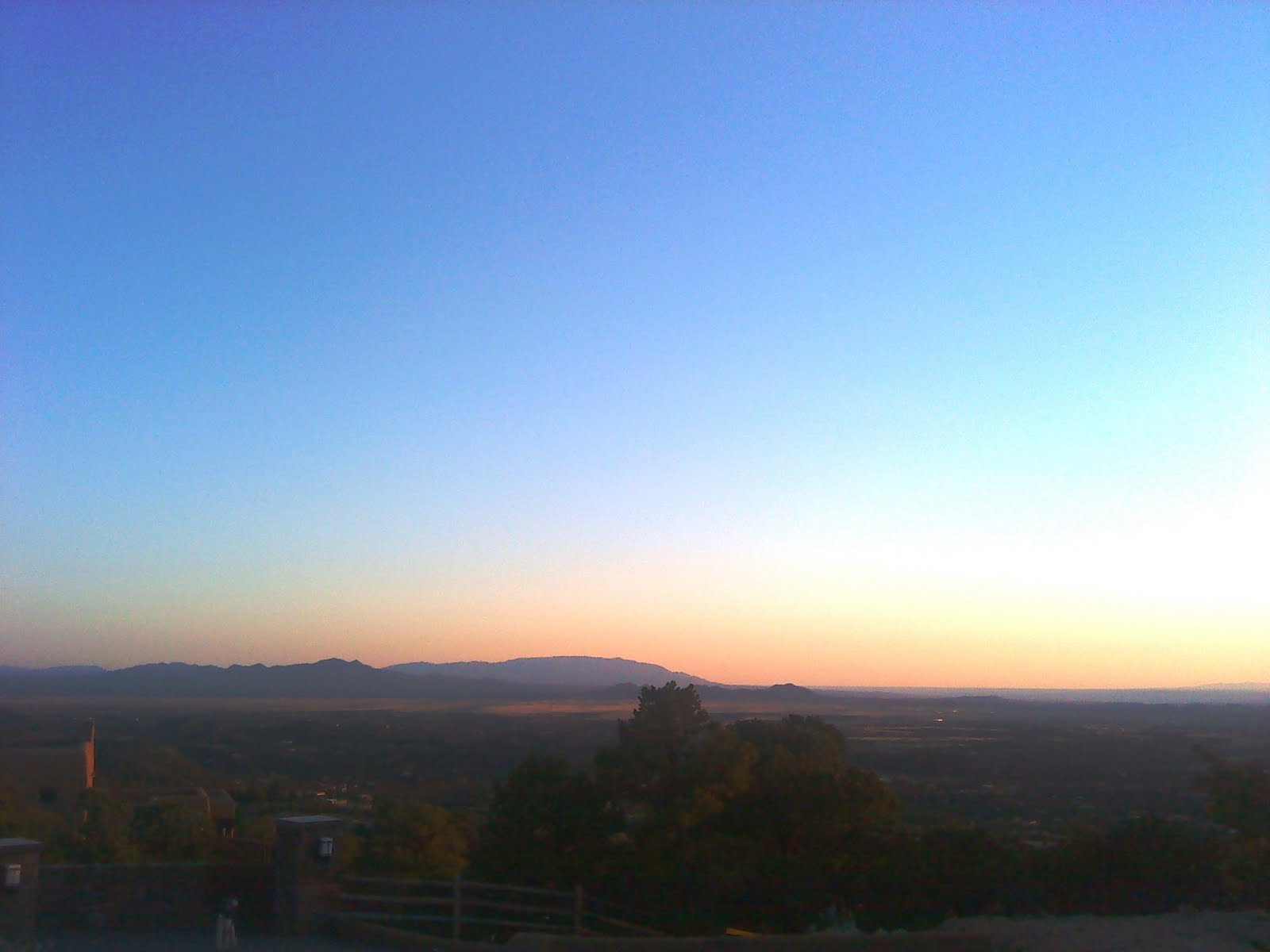
| The valley below |
To sum up - trails are great and they're even better if you're running on them. Slow and easy is the plan so I can keep from moving backward. Feeling old and broken is not something I'm ready for just yet.
Related Post: Barbaria Trail Loop - 18mi trail linkup (Jan '11)
View East Hills Arroyo - St Johns College, Santa Fe in a larger map


I found this trail on one of my runs while at home. I loved the feeling of isolation yet being so close to the city. I'll have to show you the trails I found behind Cross of the Martyrs when I get home again in a couple weeks.
ReplyDeleteSean
Kevin! I have a question for you. Okay, I don't run anymore (sigh), or even jog (double sigh), and hardly even schlep-hop much (more sighing), but I do get out to push the stroller around a few days a week. So, just wondering... do you have a running app for the phone that you recommend for its accuracy and usability? I've loaded Run Keeper, but the distance measurements are a bit wonky at times. Love that it keeps a map of my walk, loads it to an online profile, and keeps easy record of some basic stats.
ReplyDeleteDo you use something like this?
Marg.
Hi Bro! Nice to have you come through again. I'll find those trails by the Martyrs and do a write up. Have fun exploring the Kansas outdoors.
ReplyDeleteMarg - I don't know of any good apps. Tiago might be the guy to ask. I have used the Nike+ which is an add-on for the iPod. A widget velcros to your laces and the iPod measures miles. I never had good luck with it because I wouldn't charge my iPod, I didn't like holding my iPod on a run, and I was running through a lot of snow at that time which messed with the widget. Anyway, that's the breadth of my insight on that topic.
ReplyDeleteYou may also try MapMyRun.com to get a feel for the loops or trails you use most. After a while you'll get a feeling for your pace and can just estimate most walk distance by time. This is how I 'measure' the majority of my runs.
Excited to see you all in September!