 |
| Sunflowers and the Sangre de Cristos at Frenchy's Field |
If you make it a point to get out to
La Tierra from time-to-time and cruise a few miles of singletrack (on foot or bike), you've no doubt noticed that it has become fairly awesome. This is the work of a few local groups most notably the
Santa Fe Fat Tire Society - our resident mountain bike club - and the
Trails Alliance of Santa Fe. With the support of dozens of volunteers and the financial support of REI, IMBA, the
Santa Fe Conservation Trust, and now the City of Santa Fe, these groups have slowly transformed the trails from meandering jeep-track to a jewel of a recreational trail network. The work being done out there has been considerable, to the point that the folks with SFFTS landed this year's
IMBA World Mountain Bike Summit (the other finalist was Tahoe, CA). A stunning development actually, and the
basis for this.
 |
| Trail 34 - up top and exit right |
Aside from improving and building new track, the good folks with SFFTS also helped to
map out the existing network and to add signage at trail intersections to help navigate this map. Taken together this an enormous plus to those who love running out there but dislike getting lost and tacking on an extra three or four miles every time out (that would be me - and my sense of direction is actually quite good). Alright, now with this new map I noticed immediately that there was a line that ran right off the page!, traveling east from the cell phone tower on Camino de los Montoyas, clear out to Ridgetop Rd. I had explored some of this trail a few times before only to get hopelessly lost, but now it appeared I had the upper-hand.
The trail is marked as 34. To be precise, it begins as trail 31 and then becomes trail 34 for most of its eastward travel. What makes this trail so magnificent, sublime even, is that it fills a missing link to circumnavigate Santa Fe almost entirely by trail. And piecing that together is what I've been doing with my free time over the last couple weeks.
Townie (Super) Loop - Distance: ~21 miles
Duration: approx. 2hrs by bike
Good For: Mtn biking from your doorstep/marathon long runs
Trail Quotient: 90% traffic free
 |
| River Trail |
 |
| Folk Art |
 |
| Flowers and morning moon |
 |
| Acequia Trail mural |
 |
| River Trail mural |
 |
| La Tierra and Unity Church |
 |
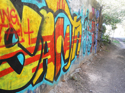
| Big blue at Trail 34 |
Route Description: Rail Trail north -> Acequia Trail west
-> north at Camino de Chelley bridge -> Frenchy's Field ->
River Trail east -> Mesa Vista Rd north -> Ortiz dog park east
-> Camino de los Montoyas north -> La Tierra Trails at Unity
Church -> find your way in any fashion to the Cell Tower (northeast)
-> Trail 34 to Ridgetop Rd -> Tano Rd east over Hwy 285 -> Old
Taos Highway or Arroyo Barranca -> SF Plaza -> Don Gaspar ->
Montezuma Rd west -> Rail Trail south.
View Super Loop - Santa Fe, NM in a larger map
What's more, is that the Townie Loop has a twin... (
*head exploding*)


No comments:
Post a Comment