Showing posts with label Dale Ball. Show all posts

Monday, September 5, 2016

New Fall Trail Races - Ultra Santa Fe and Bull of the Woods

There are a couple of new trail races on the schedule this Fall with a lot of potential:
  - The inaugural Ultra Santa Fe at the ski basin (Sep 10th), and
  - The inaugural Bull of the Woods Trail Run up in Taos Ski Valley (Sep 17th).

Ultra Santa Fe - 13mi/50km/50mi, Sep 10, 2016
Santa Fe's first organized ultra at both 50k and 50mi distances. Race directors Peter Olson and Taylor Pardue have done a ton of work and promotion to launch this new race. The courses are terrific (including the first rate maps setup on the race website), starting/finishing at the ski area lodge and descending the network of forest service trails on to Dale Ball in town (great race viewing, cheering, and cow-belling) before circling back up the mountain.

As of this writing there are 66 entries to the ultra distances and another 75 at the half marathon distance. This is going to be the new area test-piece, and the scheduling ties in beautifully to the fall trail racing calendar: it's one week before the Bull of the Woods Trail Run and Buffalo Thunder Half (Sep17), three weeks before Big Tesuque (Oct 2), and five weeks before Pajarito and Duke City (Oct 17).

More details and registration info at the event website here.

SF Reporter write-up - 6/29/16
SF New Mexican write-up - 9/1/16


Bull of the Woods Trail Run - 8mi, Sep 17, 2016
A couple of local trail runners in Taos have managed to get approval at the Northside@Taos Ski Valley trail system to stage an 8 mile high altitude race. The mostly singletrack course runs between 10,000-11,000 feet elevation with magnificent views of Gold Hill, Kachina Peak, and Lobo Peak. The expectation is that in years to come the race will be expanded into offering longer distances, and perhaps a combination run with the Taos Ski Valley Up-&-Over, and potentially part of a Northern New Mexico trail race series!

More details and registration info at the event website here.

Monday, April 22, 2013

Cycling Dale Ball and Dorothy Stewart

The new maps on Dale Ball South!
Out in the foothills on Saturday, saw that the Forest Service had signed a few of the intersections near Atalaya with these cool new maps. Signs and maps! Progress has truly arrived in Santa Fe. No, but I'd love to see several more of these on the trails. I tend to know where I'm going but I don't get the feeling that a lot of other people do.

As a bonus, this map was posted not just at the first trail junction - where TR 170 splits off to Atalaya - but at the next two junctions as well. A sincere hi-five to whomever headed this project. One small omission is notable however; the map details Talaya Hill Open Space but Talaya Hill itself isn't marked. I mean, we've got Castle Rock in there but not Talaya? Maybe Talaya is a brooding and mysterious type of character. Castle Rock must be the extrovert.
Talaya Hill Open Space minus Talaya Hill
(click through for better detail)

On a side note, it's worth a mention that Forest TR 170 is the easier, less steep approach to both Dorothy Stewart and Atalaya. If you want to get your bike up onto Dorothy Stewart (or lower Atalaya) without the extended sections of hike-a-bike, this is your route. Still a technical ride but much more reasonable than the climb from Talaya Hill or the direct route from the Camino Cruz Blanca T/H.

The GPS map doesn't clearly show the air you can soar through off some of the rollers down on lower Dorothy Stewart. Nor does it show the collisions with off-trail trees on upper Dorothy Stewart. More of the former less of the latter for a pleasant ride.

Dale Ball South and morning sun

Some old dude rockin' his new wind vest (toasty warm)
Nearby Trails:
 - Atalaya Mountain Trail
 - Sun Mountain Trail
 - East Hills Arroyo - St John's College


View Dorothy Stewart Ridgeline Trail - Santa Fe, NM in a larger map

 - TR 170 in yellow
 - Dorothy Stewart Loop in blue
 - Talaya Hill (top-left flag), 7,439ft


Sunday, March 3, 2013

The Charms of Winter Trail Running

Sunrise along the Santa Fe River - Picacho Peak in outline

The shorter days can sometimes crush the motivation for getting out. Tights, hat, a pair of gloves and weekends are a solid defense for this insidious malady. Along with a few friends I've been diligently keeping the rust at bay with morning runs that canvass the foothills above town. The rewards of trail outings in the off-season are the near total solitude and the incredible beauty of snow and winter light.


Morning light on the Sangre de Cristos from Dorothy Stewart

Moon and sun mountains cast tall shadows toward the Sandias

Atalaya's north ridge with new snow - Sangres in the distance

Sending one of the steeper sections on the Atalaya Ridge - Hadji and his two wonder-dogs up ahead
Morning summit of Atalaya - views over the Rio Grande Valley of the Ortiz and Sandia Mountains

And a few gratuitous non-running images:

The snow covered Jemez from La Tierra - Caballo Peak partially obscured by cloud
Winter weather and snow descend on the Sangres before breakfast

Thompson Peak and snow-filled Valentine chutes at sunrise with morning storm clouds 

Thompson Peak at left from a closer vantage on Dale Ball trail, Hadji and Adam at center, Picacho Peak at right. 

Mini-me enjoying a run with Dad past a sunset so dazzling it obscured the photo

Related Posts & Trail Maps:
  - Atalaya Mountain
  - La Tierra Trails
  - Dorothy Stewart Trail


Wednesday, June 6, 2012

The La Piedra Trail - Dale Ball

Dale Ball Connector
La Piedra Trail - Descending the zipline
Among the many new trail projects around Santa Fe in the last year, a real keystone to the area's bike trails has been developing east of town - the La Piedra Connector Trail. La Piedra will tie together the national class Dale Ball Trails system in Santa Fe's east hills with the older and much more extensive Winsor Trail system that stretches north and east of town through the Santa Fe National Forest with access to the Pecos Wilderness and places north - like Penasco. An ambitious Santa Fean can now thru-hike (or run) 40+ miles across the Sangres to the Santa Barbara campground without crossing a road. I love to think about that. Specifically, the Connector will link the north loop of Dale Ball (north of the Sierra del Norte trailhead) with the Little Tesuque Creek Trail 1.5 miles to the north. Little Tesuque links to Winsor through a steep climb north to the Burn Trail.

Santa Fe Conservation Trust
The La Piedra Connector is the work of the Santa Fe Conservation Trust, its executive director Charlie O'Leary, and the SFCT's volunteer affiliate the Trails Alliance of Santa Fe. Funding came in from local contributors (you can be one too!), proceeds from the Banff Film Festival screenings this spring, as well as proceeds from the La Tierra Torture bike races. Charlie mentioned that a five-figure grant came in from a California Foundation whose trustee held fond memories of running in the hills above Santa Fe, which is awesome. The Trust was founded in 1993 by conservationist scion Stewart Udall, and is primarily responsible for negotiating the public easements and legal work required in setting aside privately owned land parcels for non-developed use in perpetuity. SFCT negotiated public/private easements for the initial construction of the Dale Ball Trails in the 90's, early improvements to the Rail Trail, as well as development of the Arroyo Hondo Preserve, the Cerrillos Hills Preserve, La Tierra Trails, and most recently - the Galisteo Basin Preserve.

Trials Alliance Santa Fe
My crew from the Trails Alliance of Santa Fe. At far left are Lynn and Charlie.
Trials Alliance Santa Fe
Some instruction on how to use our lobotomizers for good, not evil
The Dale Ball Trails have become a fixture in town, and the model for all the miles of recreation trails that have been built since. In fact it's difficult to remember when none of this was here. Being a native to the area I can tell you that back when I left for school, Santa Fe had only arroyos, Atalaya, and Winsor. The parcel of land that the Connector now runs through has long been eyed as the finishing piece of the iconic trail system. According to O'Leary, the landowner that placed the parcel in trust knew this and it was the primary motivator for doing so. The new trail crosses through the beginnings of the La Piedra arroyo drainage which it takes its name from.

Dale Ball Connector
On the trek in - making trail sons!
Working with the SF Trails Alliance, SFCT designed and mapped out a workable trail through the easement boundaries and contracted a team out of Albuquerque to conduct the initial trail cut. Work was originally planned to have begun in October but was pushed off until this spring when local volunteers including entire trail maintenance teams put together by the Santa Fe Fat TireSociety and REI Santa Fe knocked out much of the detail work by hand, including armoring switchbacks and corners, erosion controls, trail sloping, etc. I got out there and helped too. Myself and another Santa Fe badass named Lynn cleared out a load of deadfall and fixed up other drainage issues on the westside gully before the up-and-over into Little Tesuque. When you ride/run through there and see how awesome it is - you know who to mentally high-five.

The land parcel is limited in size, and as designed the Connector has a lot of tight, technical switchbacks in a steep descent down into the Little Tesuque drainage east of Bishop's Lodge. Thirty-three switchbacks by my count including a few more in the climb preceding the descent. A group of us ran it out the day after our trail maintenance work and it was fantastic. A terrific addition to the growing trail network.

Dale Ball Connector
Out with friends the day after - crushing the switchbacks

Dale Ball Connector
And down, and down, and further still - down

Burn Trail Santa Fe
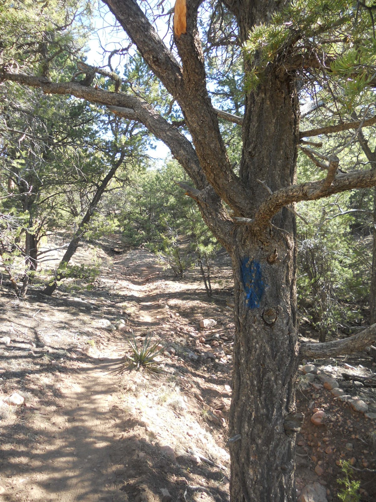
Blue blazes trace the way up the Burn Trail

Burn Trail Santa Fe
At the fence-line to Winsor and beyond

Burn Trail Santa Fe
At the Juan Trail/Burn Trail highpoint - Tesuque Peak in view
Related Links


View Dale Ball Trail System - Santa Fe, NM in a larger map


Monday, March 14, 2011

Running the Santa Fe Canyon Preserve and Dale Ball Trails

Santa Fe Canyon Preserve, looking east
Spent a beautiful Sunday evening up on the Dale Ball Trail. I had meant to be up early on my bike and join a group of runners at St. John's College for some running in the hills, but rolled out of bed a bit late for that.

I rallied-up and made it out to the Preserve before sundown. As always, I had the place/trails to myself. I like to warm-up around the SF reservoir which is mostly flat and very scenic. It's one of the few places in Santa Fe for some reason where you see (and hear) birds and other wildlife, like the beavers that have been marauding the tree-stands up there for a few years now. No dogs permitted however, and no bikes. The loop around the Preserve might be ~1.25mi, in any case it makes for a great warm-up or I have on occasion just run interval loops around it.

Beaver construction

Picacho Peak
Thompson Peak to the east still holding their snow
To the north, the Preserve trail exits to the Dale Ball Trail system. Lovely running up and through some challenging switchbacks. I used to find this first section of switchbacks difficult to clean without stopping but no longer, not even with a four month layoff. A second steeper section minus the switchbacks is even more trying but my happy bike legs zipped right up it. Sadly, few signs of snow were visible. The heart shaped chutes on Thompson Peak still reflected white, and I could see a small patch on the north of Picacho. As warm as it seemed to be there was still a bit of Spring chill in the air and I was glad to have worn two zippys on top. I almost could've used some light gloves.

Switchback fun

Trees and sunset in the Santa Fe Canyon
 I felt pretty smooth flying through the faster sections of singletrack, but I cut the loop short due to caution. I cheated left to the west section of trails at marker 16 and looped back to the Preserve on the more moderate terrain. The complete Dale Ball loop is something like 9.5mi, my partial loop plus warm-up around the reservoir was about 5.5mi, 50min. Had such a nice outing I didn't want to stop, and detoured a half mile west down the Santa Fe River in an extension of the Canyon Preserve trails, then back to the truck. What a great evening. I love running.

Upper Canyon Rd at sunset


View Santa Fe Canyon Preserve in a larger map


View South Dale Ball Trail Loop in a larger map

Friday, January 28, 2011

Cycling Dale Ball Trail by Starlight

Start and Finish
I took advantage of the mild winter weather to see if Dale Ball is free of snow and ice. With the exception of some tight north-facing sections it was. I also used the opportunity to see if my bike repairs would hold together - they did.

I look forward to getting out on runs/rides like this with the moon overhead. My timing was off by about a week, so I rode by starlight rather than moonlight. It was very clear out, and for that reason seemed as though it should have been much colder. It was cold enough that the sandy sections were firm and ridable and my feet froze up a bit, but very mild for near-February weather.

Cerro Gordo Rd.
Dale Ball West

Trail Junction
 
Used my NiteRider bike lamp which worked phenomenally. I'd stop for short breaks at trail junctions or under lamp posts to listen to the night and snap a quick photo. It was mostly silent with the occasional distant dog barking and making a fuss over the unusual sound of my bike cranking through the evening. There was almost no snow and ice until I turned onto the far west switch-backs of Dale Ball that drop down to Hyde Park Rd. Even that hardpack and ice covering was tracked with dirt, so cornering was the only maneuver that required extra caution.

Descending the switchbacks

Vestiges of winter
Not surprisingly, I didn't see anyone out. I actually didn't see or pass any cars either until my return down Canyon Rd. My loop was more or less a big Dale Ball Loop starting and finishing at Second St Brewery Railyard, where I had planned to meet Christina and a group of friends afterward for food and beer. Recovered with a Bristish Mild, mmmmm. Eh, there may have been two British Milds. Life is short.

The ride was approx. 70min, over 10mi.

Nuart - on Canyon Rd.

The Upper Crust still in Christmas lighting
Santa Fe Southern locomotive in the Railyard

The Rail Trail in lights
Refreshment and vital nutrients


View Dale Ball Trail - Canyon Rd Loop, 10mi in a larger map


Related Posts:
  - Cycling Las Campanas
  - Moonlight Run - Arroyo Chamiso
  - Cycling Barbaria Loop

Saturday, December 11, 2010

Dorothy Stewart - Ridgeline

Picacho mountain and a friendly yucca
This warm winter weather sure sucks for skiing, but evenings on Dale Ball in December are better with less ice and snow anyway.  Can't do much better than the ridgeline above St. John's - I call it Dorothy Stewart Ridgeline even though the Dorothy Stewart Trail section is really only the last two miles.  I have no clue if the trail has a real name.  Awesome Hill Trail would work but it seems appropriate to have a woman's name attached to it - it's just a gorgeous track. 

From the Atalaya trailhead, it heads north down a wonderful twisting easement, then climbs a steep half mile past a few homes to the ridgeline.

The starting chute
The trail then twists north again on leg-stretching single track to the turn off to Picacho where you can loop back counter-clockwise.  The trail-markers are something like 40-32-30. Wide open views up here, and as it gets colder there is often a lot of snow hiding in the north facing ridges.

Ridgeline
Sunset behind the overlook.  Tetilla manning the horizon as always

On the return to mark 32, drop into Dorothy Stewart towards marks 37 and 38 for miles four and five, climbing switchbacks onto the overlook hill which, after a steep climb, yields a mile-and-a-half of postcard views as you wind back to the trailhead just below Atalaya. Water flows through an arroyo here in the Spring.

Dropping into Dorothy Stewart with the ponderosas.
I use this trail for thinking since the aesthetics are top rate.  I also use this trail for a lot of hard training - steep climbing broken up by intervals on the flat winding ridges in addition to a lot of varied terrain.  Loops can be added, laps or repeats can be added, it's all there.  For marathon training, I feel I get more out of these strength runs in the hills than tempos on the RailTrail.  For trail racing, I feel I get more from the flat fast sections than just grinding up Atalaya or Winsor.  This day, I slow-cruised through on a rehabilitating hamstring and took photos.  A beautiful evening.

Approx. 5.5mi., a very easy 55min on a gamey leg. Recover with Fat Tire 2 Below.

The overlook climb

Upper Canyon Rd, and the snowless Sangres

Related Posts:
 - Picacho Peak Trail
 - Atalaya Mountain
 - Santa Fe Area Trails List


View Dorothy Stewart Ridgeline Trail - Santa Fe, NM in a larger map


LinkWithin

Related Posts Plugin for WordPress, Blogger...