|
| Colors at dawn - Grasshopper Canyon |
As of Saturday morning we’d received no snow for several weeks so I went out running in the canyons along Rowe Mesa, figuring they’d soon be snowed in for the season. Been trying to piece together a trail loop(s) out there on-and-off during the year. Explored a nifty new route along the east canyon rim (h/t
Georges Malley) then dropped back into Grasshopper Canyon on the return. Was feeling pretty good about myself and my orientation skills and the beauty of the morning, I was maybe even a little bit euphoric as I bounded down canyon splashing through the creek. The thought surfaced for a moment that this feeling is often a big bright red-flag of crushed expectation, on par with false-summits when in the mountains. Of further concern was a troubling observation - I’d parked at the mouth of the canyon where there was a well defined trail, but no sign of trail existed along the section I was navigating. Maybe people don’t hike up this far? Maybe there be dragons?
 |
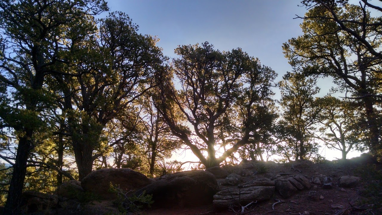
| Pinon and the sunrise |
The canyon narrows dramatically before long and I stop to take photos of a few serene waterfalls. Hasn’t become obvious to me just yet, but wait for it...waaait for it...aaand the canyon is blocked by a cascade into a large pool. There are no hike-arounds. Bare rock climbs to more than 200ft on both sides. The easiest route by far is to just down-climb into the pool and wade out the other side however I really didn’t want to do this. It’s 7:45am, cold but not freezing, I’m not certain how far I am from the truck but to retrace my steps would be six difficult miles and I really didn’t want to do that, not least because I don’t carry water with me on shorter outings. The idea then was to scramble down the rock chute and avoid getting hurt while jumping into the pool. Cellphone under my stocking cap at this point I slide/hop into the water and discover the pool not to be waist deep but neck deep. I actually choke on a bit of creek water but my system is in cold shock and my only reaction is to frantically wade to the exit. Now out of the water I remain in shock because I’m completely soaked, and completely freezing, and standing at the bottom of a canyon near Rowe Mesa on a December morning before the sun has lifted above ridgeline. This is a below average situation.
 |
| The upper cascades |
It’s a good thing I’m out running and (maybe) a good thing I’m alone and not responsible for dragging someone else through this alarming misfortune. A few hundred meters down-trail there’s another less dramatic looking pool to wade through. Disappointment arrives as I soon find the depth is again more than chest-deep. I bark my shin on an awkwardly placed log as I kick to the exit. Alright then, I’m now soaked and freezing for a second time and slightly horrified that there may be more swimming before I’m done (mercifully not so).
I make it to the truck before compounding my problems with the embarrassment of being seen by other hikers. Getting wet isn’t a big deal, however being frozen without the certainty of knowing where you are invites a small amount of panic.
 |
| Side canyon falls and foreshadowing |
These unplanned moments of panic are often fascinating. You’re zipping along in a security-bubble and in a ‘blink’ everything within view suddenly harbors potential existential challenges. The shadows shift, the smallest change in conditions at this moment may create serious vulnerability, (rolled ankle plus wet & freezing would be bad, slip and fall bad, encounter with wildlife really bad). It’s a fleeting and mostly-safe peek of what waits on the other side of the line between the beauty of nature and its steely indifference. Make it back to the truck and these types of interludes seem to always make the beer taste better. Cheers then, to always making it back to the truck.
Related Posts: